
Aerial Photography
4K/8K stills, cinema video, panoramas, and time-lapse captured on stabilized gimbals — delivered color-graded and ready to publish, with end-to-end post-production.
Explore service

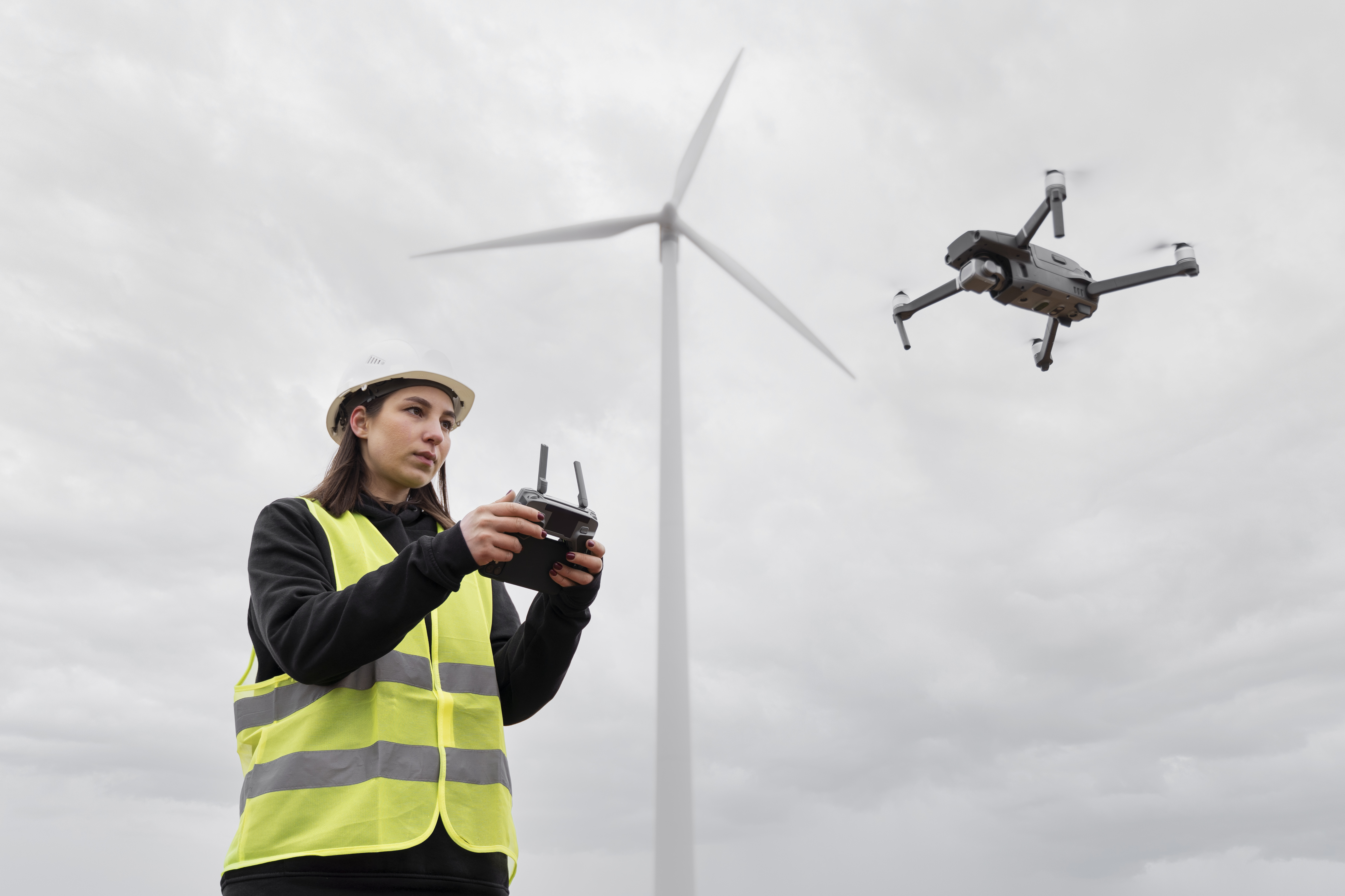

Aerial photography, facility inspection, surveying & modeling — plus crop protection, lift & delivery, emergency response, and commercial shows. One verified network of certified pilots, one fixed quote, delivered on schedule.
Three flagship services anchor our offering — booking a single session or an entire program is the same simple process: fixed quote, certified pilot, documented delivery.
4K/8K stills, cinema video, panoramas, and time-lapse captured on stabilized gimbals — delivered color-graded and ready to publish, with end-to-end post-production.
Explore serviceHigh-resolution and thermal inspection of towers, roofs, solar arrays, and industrial assets — with geolocated evidence and prioritized maintenance reports.
Explore serviceOrthomosaics, elevation models, volumetric calculations, and reality-based 3D models in standard GIS/CAD formats for measurable, documented site data.
Explore serviceOne point of contact from inquiry to final file. Fixed quote, planning and permits, certified execution, quality control, and on-schedule delivery.
Share your objective and receive a fixed quote within 24 business hours.
Route planning, airspace clearance, equipment check, and site coordination.
A Part 107 pilot executes the mission with a documented safety checklist.
Footage and data are processed with quality checks against the agreed scope.
Files arrive on schedule in standard formats, with revision rounds as agreed.
Whatever the challenge — incomplete listings, slow manual spraying, risky climbing work, or blocked roads — we answer with the right aircraft and crew.
Ground-level photos miss the scale of the property, the lot, and the neighborhood — so listings fail to tell the full story.
Cinematic aerial stills and video that show the full picture in listing-ready formats.
Manual spraying is slow, labor-intensive, and exposes workers to chemicals across large fields.
Precision crop protection and monitoring that cover more acres per day, with logged operations.
Tracking progress and measuring volumes on large, uneven sites is slow and prone to error from the ground.
Orthomosaics, volume calculations, and 3D models that give teams measurable, documented snapshots.
Inspecting towers, roofs, and solar arrays means shutdowns, scaffolding, rope access, or slow patrols.
Thermal and high-res inspections with geolocated evidence and prioritized maintenance reports.
Wrong-angle coverage hurts events, and incidents need situational awareness the moment ground access fails.
Aerial coverage for events and tourism, plus rapid reconnaissance and thermal search support.
Managing multiple operators for different aerial needs multiplies risk, cost, and coordination overhead.
One verified partner for seven service lines — one quote, one accountable point of contact.
Certified pilots only, insured operations, weather protection built into every tier, and fixed transparent quotes — no time-billing surprises.
Every operator holds a current Part 107 certificate; documents provided before flight.
Standard 5 business days, expedited 3 business days, same-week rush available on request.
Reschedule at no charge if wind, precipitation, or visibility exceeds operating limits.
Pricing locked at booking with the deliverable set defined up front.
Aviation liability coverage on every mission; certificate available on request.
Geolocated flight logs, quality checks against scope, and standard lossless formats on every project.
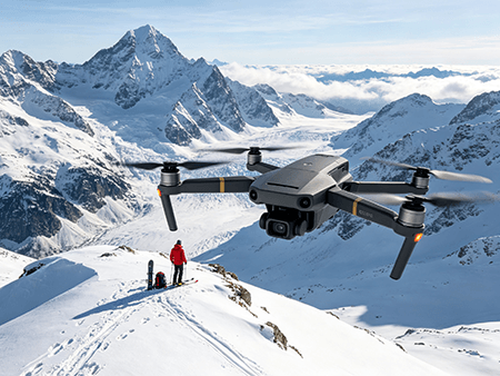
Aerial work was fragmented: buyers struggled to find pilots who were truly certified and insured, pilots struggled to find steady projects, and neither side had confidence in the other.
FLYING LES LIMITED was founded in Albany, New York to close that gap — a platform that verifies operators, standardizes delivery, and lets every client focus on their mission instead of managing logistics.
Compliance is not a checkbox — it is part of every quote. We plan each flight against current airspace rules and never operate where clearance cannot be obtained legally.
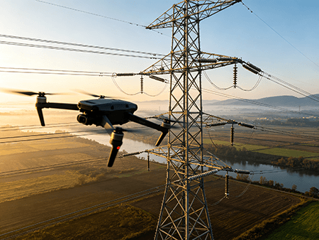
Anonymized roles from project reviews across construction, property, and facility operations.
"Progress maps and volume reports replaced weekly manual surveys and cut our reporting time in half."
"Listing imagery improved, and buyers scheduled more viewings after aerial media was added to each property."
"Annual thermal inspection reports now schedule in one call, with every defect documented and prioritized."
Send your location, objective, and preferred date — receive a fixed, transparent quote within 24 business hours.