What We Do

Aerial services for every mission

Seven service lines. One verified network of certified pilots. Transparent quotes and documented delivery on every project — from a single image to a nationwide program.

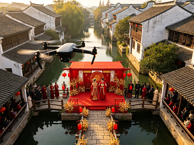
Professional aerial photography from a drone over an outdoor event

Aerial Photography

Professional aerial stills, cinema video, panoramas, and time-lapse captured by certified pilots with stabilized gimbals and professional color management — delivered ready to publish.

What the client gets

  • 4K/8K stills and video with stable, cinematic motion
  • Spherical panoramas and virtual tour material
  • Post-production: selection, color grading, editing, format conversion
  • Landscape, portrait, or square formats for web, print, or broadcast

Best for: real estate listings, weddings, construction documentation, corporate film, and tourism promotion.
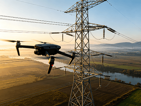
Drone inspecting high voltage power transmission lines

Facility Inspection

Drones reach elevated, hazardous, and hard-to-access assets — towers, power lines, roofs, solar arrays, and wind assets — without scaffolding, rope access, or shutdowns.

What the client gets

  • High-resolution and thermal imaging that detects corrosion, cracks, and defects
  • Geolocated, traceable imagery with flight logs
  • Structured report with annotated findings and prioritized recommendations
  • Recurring inspection programs for asset condition tracking

Best for: energy facilities, high-rise facades, bridges, industrial plants, solar farms, and wind turbines.

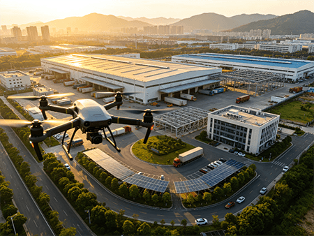
Aerial surveying capture of city buildings and construction sites

Surveying and Modeling

Orthomosaic maps, digital elevation products, and point clouds turn a site into measurable digital data — with volumetric calculations and 3D models delivered in standard GIS/CAD-compatible formats.

What the client gets

  • Digital orthomosaics and terrain/elevation models
  • Volumetric calculations for earthwork, stockpiles, and mining quantities
  • Reality-based 3D models for as-built documentation and planning
  • High-resolution point clouds, classified and filtered for engineering use

Best for: construction progress tracking, land surveying, mining inventories, and site verification.

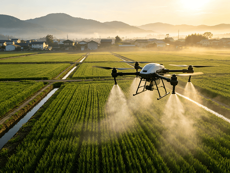
Agricultural drone spraying crops in a field

Agricultural Plant Protection

Precision spraying, fertilizing, seeding, and crop monitoring for farmland, orchards, and vineyards — reducing labor and chemical waste while covering ground fast.

What the client gets

  • Field pesticide, fungicide, and herbicide application
  • Foliar fertilizing and micronutrient application
  • Granule broadcasting for seeds and fertilizers
  • Crop health monitoring plus applied-area records for compliance

Best for: row crops, orchards, vineyards, and large-scale farms.

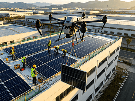
Drone lifting and transporting solar panel equipment

Suspension Lift & Delivery

Sling, underslung, and precision-drop delivery for sites where ground access is difficult, dangerous, or slow — moving tools, materials, and equipment without disrupting operations.

What the client gets

  • Sling transport of tools, materials, and equipment
  • Precision placement and winch lowering to rooftops and work points
  • Multi-aircraft coordinated lifting for oversized loads
  • Emergency delivery for time-sensitive missions

Best for: construction material supply, rooftop deliveries, line construction, and disaster resupply.

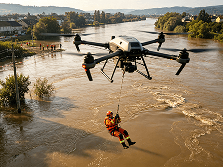
Drone assisting a search and rescue operation

Emergency Response & Security

Real-time aerial intelligence for disaster response, search and rescue, and on-site security — providing command teams with live, locatable information from above when ground access fails.

What the client gets

  • Disaster reconnaissance and damage assessment
  • Thermal search for missing persons and fire assessment
  • Large-area monitoring and situational awareness feeds
  • Emergency lighting support and evidence recording

Best for: flood and fire reconnaissance, missing-person search, event security, and large incidents.

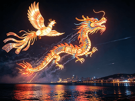
Night sky drone light show with illuminated formations

Commercial Shows

Choreographed UAV swarm light shows and aerial advertising that turn the night sky into a branded experience — planned, permitted, and executed safely from concept to final frame.

What the client gets

  • Custom choreography: graphics, text, 3D forms, and animations
  • Music-synced light programming
  • Full airspace approval and filing management
  • On-site execution with redundant aircraft, plus photos and video

Best for: festivals, grand openings, product launches, and cultural tourism night events.

Not sure which service fits?

Describe your objective — we will confirm the service line, aircraft, and a fixed quote within 24 business hours.

Book a Session

Every mission deserves a certified pilot

Get a fixed, transparent quote for your project within 24 business hours.